NWR

04
DATA COLLECTION
ABOVE THE DATA
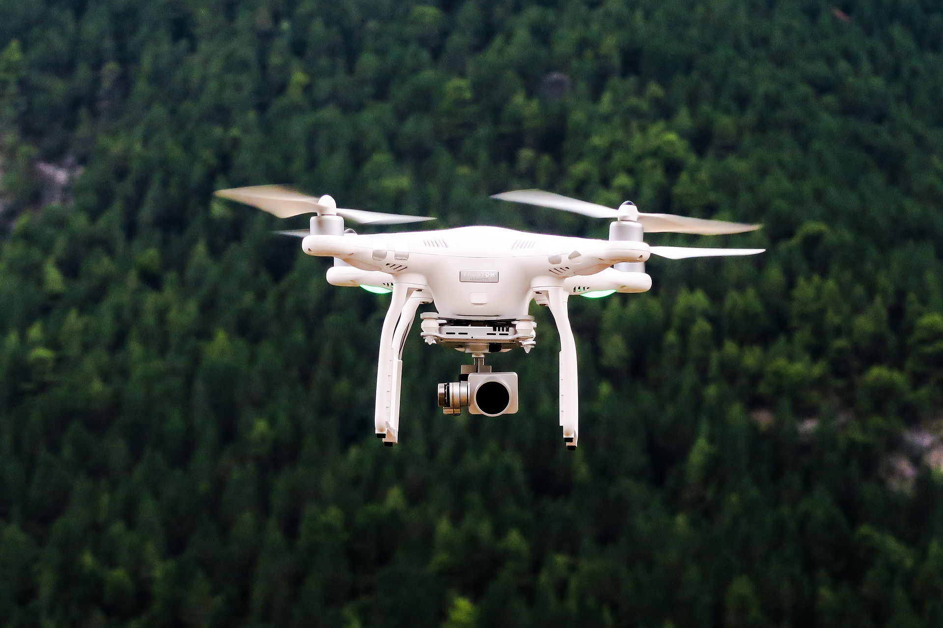
Our ability for preprogrammed GPS coordinate UAV flight paths make it possible to capture the highest resolution aerial imagery, near-infrared imagery, and Digital Terrain Surface (DTS) data with centimeter accuracy and repeatability.
With ultra low-flying ability we can capture precise and detailed data down to 1.7cm/pix. All this culminates in the most up to date accurate information available to support your impact study.
Combining the UAV technology and our mapping knowledge allows us to generate 3D digital surface models complimented by a very wide range of data in a timely manner. This enables greater and more thorough desktop review and analysis of project, research and monitoring locations. The cost-effectiveness and flexibility of our UAV data permits the collection of data in projects that may not have previously had access to this resolution information.
 19 |  Twin_pike_02346 |
|---|---|
 Mt Rainer_6223 |  WA_Superpit |
 Hanckode Access_0122 |  Snet_2579 |
 Bosworth_Reclaimation_16F_83498 |  Site_036 |
 Refit_Dayak_0538 |  Refit_Dayak_02965 |
 Nickel_Tailings_4825 |  Tread_Water 0446 |
 Ochok_Reserve_Pipeline_046778 |  B44_Bridge_34896 |
 Seattle_0016 |  Data_set_47392 |
 Seattle_0308676y |  Seattle_468376 |
 Seattle_4684920 |  Interchange_I22 |
 Treatability Study_Bake946 |  Port_Runoff_S7 |
 Silt_Turbulance_39f |  Rig_44A_Refit_lewis22 |
 Ochok_Reserve_Pipeline_046783 |  L44_water_reserve_04625 |
 L44_water_reserve_067725 |  L44_water_reserve_006634 |
 L44_water_reserve_07734 |  L44_water_reserve_895683 |
 L22_shore_Study_952145 |  L22_shore_Study_952593 |
 L22_shore_Study_956457 |  L22_shore_Study_956457r5 |
 Adjointment_16s_64923 |  Bosworth_Reclaimation_16F_24975 |
 Annis_Island_86889 | b66_68415 |
 55217 |  52997 |
72336 |  Aerial Forest Shot |
 Atom_0756 |  Atom_03947 |
 Dorchester_5692 |